

Projects: Incubation & Deployment
African Integrated Law Enforcement Network (ALIEN)
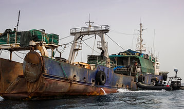
ALIEN is focused on the Disruption, Deterrence and Eradication of all Illegal Unregistered, and Unlicensed Fishing in African Maritime Space. The project is developing a technical system, free for all African Navies, Coastguards, Maritime Administration and Law Enforcement to identfy IUU fishing vessels. The data stimulated by the ALIEN technology will allow all African Member States to access reliable data of illegal vessels, observed, boarded, detained or prosecuted in all other states. Building a robust and reliable repository of intelligence that can be used to support a prosecution process.
Disaster Response Mechanism
This is your Project description. A brief summary can help visitors understand the context of your work. Click on "Edit Text" or double click on the text box to start.

Project Name
This is your Project description. Provide a brief summary to help visitors understand the context and background of your work. Click on "Edit Text" or double click on the text box to start.

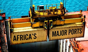
African Blue Ports Initiative (ABPI)
The Aim of ABPI is to upgrade all African Ports to attain the ABPI Blue Port Certification. This will include the implementation of renewable energy technology, provision of sustainable infrastructure, enabling exploitation of new technologies inclusive of AI to improve port productivity. ABPI will accelerate the development and accessibility of African ports to the hinterlands and to the global marketplace. Additionally it will improve import & export dynamics for trade generation.
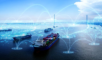
AFRICA Safe Seas Net [ASSN]
ASSN
Will be set up as a network for maritime data exchange, linking together maritime authorities from across Africa. It will allow Africa Union Union Member States, to provide and receive information on ships, ship movements, and hazardous cargoes. The main information elements envisaged within the system and made available to users are as follows:
-
Automatic Identification System (AIS) based near-real-time ship positions (i.e. one every 6 minutes)
-
Archived historical ship positions (over several years)
-
Additional information from AIS-based ship reports (e.g. identification name/numbers, flag, dimensions, course, speed, dimensions, destination and ship type)
-
Estimated/actual times of arrival/departure
-
Details of hazardous goods carried on board
-
Information on safety-related incidents affecting ships
-
Information on pollution-related incidents affecting ships
-
Details of waste carried on board/to be offloaded
-
Ship security-related information
-
Information on the location of remaining single hulled tankers and Shadow Fleet
-
Information on the location of ships that have been banned from AU ports
-
Digital map layers (containing information on depths, navigation aids, traffic separation schemes, anchorages, AIS station locations, etc.)
Project Name
This is your Project description. A brief summary can help visitors understand the context of your work. Click on "Edit Text" or double click on the text box to start.
